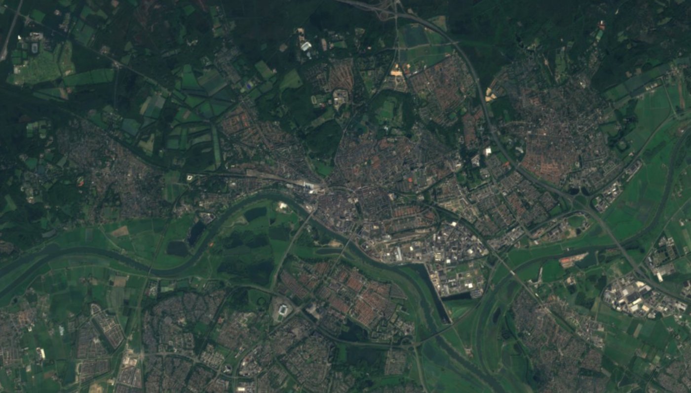

Arnhem
Open data about Arnhem: from the city itself, from national sources that include Arnhem, and from satellites that see the city from above.
224datasets
Arnhem publishes 224 datasets on data.overheid.nl, last changed on 14 October 2026.
47.4per 1,000
Arnhem registered nuisance 8,034 times in 2025: rank 4 of 342. Nationally it is 25.6.
169thousand residents
Arnhem according to the CBS figures in the police table, used as the denominator for nuisance.
What Arnhem publishes
Harvested on 15 October 2026 from the city's own portal (ArcGIS Hub) and data.overheid.nl.
224datasets
370API endpoints for 133 datasets
86map layers
1,300fields described, 620,580 rows counted
Open Data Arnhemopendata.arnhem.nl
Reachable at the last check
- On the city's own portal223
- On data.overheid.nl62
- On both (counted once)61
What it coverstopic or keyword
Verkeer65
Natuur en milieu35
Ruimte en infrastructuur30
Financien17
Cultuur en recreatie8
Bestuur8
Archeologie4
Weg4
Most used formats: ArcGIS REST (218), WFS (129), WMS (129), CSV (109), KML (109), ZIP (108)
All datasets
Expand a dataset for its API endpoints and fields.
…
Sources that include Arnhem
Municipal and governance

National, down to neighbourhoods
 Registered nuisance by neighbourhoodmonthly
- Registered crime by neighbourhoodmonthly
 Key figures for districts and neighbourhoodsyearly
- Population change by monthmonthly
 Addresses and Buildings Register (BAG)daily
 District and neighbourhood mapyearly
 Luchtmeetnet air quality networkhourly
 Large-scale concentration maps (GCN)yearly
 NDW live traffic dataevery minute
 RDW registered vehiclesdaily






Request it yourself
Open Government Act request to ArnhemWhat isn't public can be requested. Ask for documents, not answers, and be precise about subject and period. The city decides within four weeks, extendable by two.