
Foundation or organisation
Klimaateffectatlas (Stichting Climate Adaptation Services)
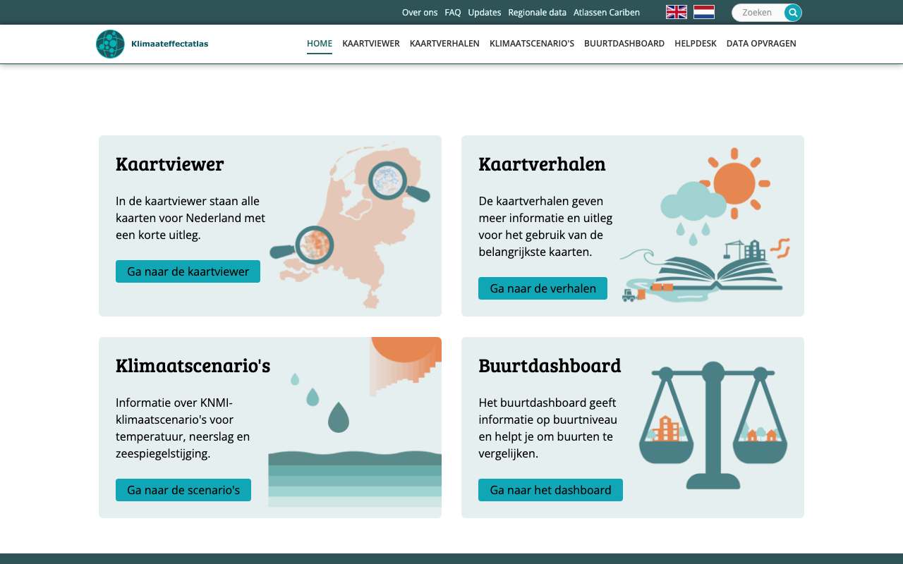
National atlas with maps of heat, drought, waterlogging and flooding. Managed by the CAS foundation on behalf of the Ministry of Infrastructure and Water Management.
klimaateffectatlas.nl
1sources explained
2examples with their data
Sources explained
Climate Impact Atlas (Klimaateffectatlas)
Stichting Climate Adaptation Services (CAS), in opdracht van het ministerie van IenWNetherlands, neighbourhood or raster cell
National maps of what climate change does to the Netherlands: perceived temperature, drought, groundwater, subsidence, water depth in a flood and in extreme rain. Often for today and for 2050, 2085 or 2100. There is also a neighbourhood dashboard with figures per neighbourhood. Available as map layers (WMS), vector data (WFS) and download.
OpenMap layerDownloadAPIClimate and environmentHousing and land
Up to date
updated in August 2026