European Union
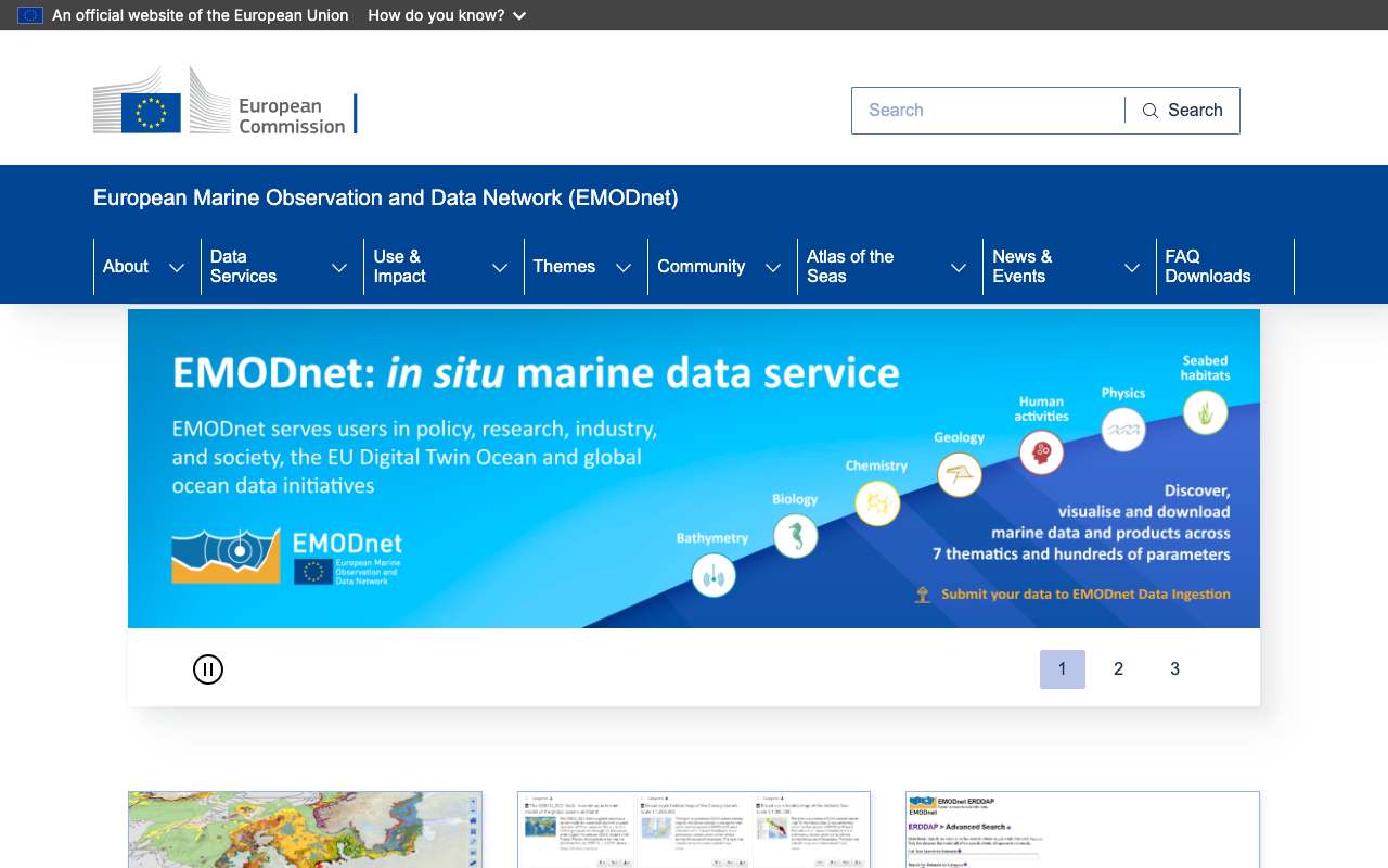
European Marine Observation and Data Network
European network for marine data, managed by the European Commission's DG MARE: depth, seabed, biology and human use of the sea.
emodnet.ec.europa.eu
1,891datasets in our index
100%with an API or map service in the metadata
1sources explained
2examples with their data
What they publish
Counted across all indexes we harvest; modified between November 2001 and 31 January 2020.
Where it is
- EMODnet1,891
Formats
WMS1,859WFS348GEOJSON348
Subjects (per the publisher)
Chemie (Chemistry)1,106Zeebodemleefgebieden (Seabed Habitats)438Menselijk gebruik (Human Activities)209Biologie (Biology)122Diepte (Bathymetry)16
Sources explained
EMODnet (European marine data)
Europese Commissie (DG MARE)Europe, feature (wind farm, cable) or grid cell (~125 metres)
The European network for marine data in seven themes: bathymetry, geology, physics, chemistry, biology, seabed habitats and human activities. For the Dutch North Sea you'll find wind farms, cables, pipelines, vessel density, wrecks and depth, as map layers (WMS) and data (WFS).
OpenMap layerAPIDownloadEnergyTraffic and transportEarth observation
Up to date
updated in July 2026
Examples with their data
Recently changed
Search all datasets- Natura 2000EMODnet · 2020-01-31
- [FI004005] Potential spawning areas for herring (PBS EFH)EMODnet · 2018-10-29
- State of Bathing WatersEMODnet · 2006-02-15
- [FI004008] Potential recruitment areas for pikeperch (PBS EFH)EMODnet · 2001-11-29
- [FI004003] Potential spawning areas for European flounder (PBS EFH)EMODnet · 2001-11-29
- [FI004002] Potential spawning areas for Baltic flounder (PBS EFH)EMODnet · 2001-11-29
- [FI004007] Potential recruitment areas for perch (PBS EFH)EMODnet · 2001-11-29