
Crop parcels (BRP) and reference parcels
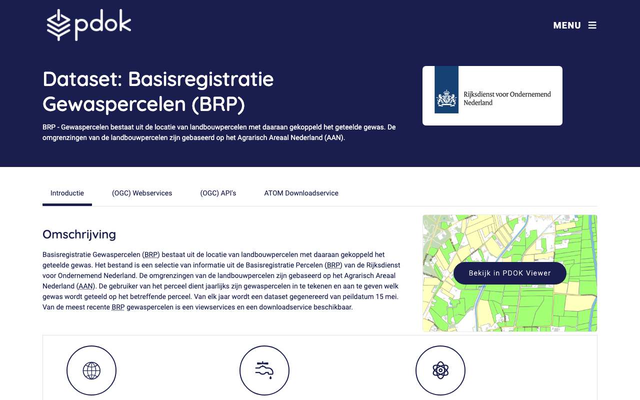
Every year farmers tell RVO which crop grows on their parcels. From those declarations RVO builds the crop parcel register: each parcel as a polygon, with crop, crop code and category (grassland, arable land, landscape feature, nature area …), reference date 15 May. The API holds the final 2025 edition with 2,331,084 parcels; the downloads go back to 2009 and a draft for 2026 is already available. Also the reference parcels: the outline of all agricultural land (2,358,200 polygons), formerly the Agrarisch Areaal Nederland. Via PDOK as OGC API, WFS, WMS and GeoPackage.
Parcels in the crop parcel register by land type: landscape feature (ditch, hedge, wooded bank …) is the largest part, 43% in 2025
Breakdown in 2025: landscape feature (ditch, hedge, wooded bank …) 43%, grassland 39%, arable land 16%, nature area 1.3%, other 0.2%, fallow land 0.1%. Total: 2,331,084 parcels.
What can you do with it?4 ideas
Where are the maize, lilies and potatoes?
Filter on crop or crop code and map the parcels. With the downloads of earlier years you can see how a region changes crops.
Grassland, arable land or ditch
Of the 2.3 million parcels in 2025, 43% are landscape features (mostly ditches, also wooded banks and hedges), 39% grassland and 16% arable land. Also sum the area: the split looks very different then.
Farming next to nature
Overlay the parcels on the Natura 2000 sites and count per site which crops grow within a kilometre. That makes the nitrogen debate concrete per place.
Fifteen years of crop rotation
Compare the 2009 to 2025 editions at the same place. Parcel boundaries shift each year; join on location, not on an id.
How to process it4 steps
Parcels in an area
The OGC API only filters by location (bbox in degrees), at most 1,000 per page; the next link gives the following page.
https://api.pdok.nl/rvo/gewaspercelen/ogc/v1/collections/brpgewas/items?f=json&limit=1000&bbox=5.60,52.50,5.65,52.53
Filter by crop or category
For that you need the WFS (FES filter). With resultType=hits you get the count straight away.
https://service.pdok.nl/rvo/gewaspercelen/wfs/v1_0?service=WFS&version=2.0.0&request=GetFeature&resultType=hits&typeNames=BrpGewas&FILTER=%3CFilter%3E%3CPropertyIsEqualTo%3E%3CPropertyName%3Ecategory%3C/PropertyName%3E%3CLiteral%3EBouwland%3C/Literal%3E%3C/PropertyIsEqualTo%3E%3C/Filter%3E
Download earlier years
The ATOM feed lists one file per year: GeoPackage from 2020 (2025 is 2.9 GB), ZIP for 2009 to 2019, and gewaspercelen_concept_2026.gpkg.
https://service.pdok.nl/rvo/brpgewaspercelen/atom/v1_0/basisregistratie_gewaspercelen_brp.xml
Reference parcels
The outline of agricultural land, with type (e.g. Water) and the source of the boundary (versiebron, e.g. aerial photo). Here too only a bbox filter in the OGC API.
https://api.pdok.nl/rvo/referentiepercelen/ogc/v1/collections/referentiepercelen/items?f=json&limit=100&bbox=5.60,52.50,5.65,52.53
Interesting combinations

Which farming surrounds a nature site?
Draw a one-kilometre buffer around each Natura 2000 site and count parcels per category or crop.

Is the maize on high or low ground?
Compute each parcel's average height from the AHN and compare crops. Low, wet parcels are more often grassland.
Similar sources
 ESA WorldCover
Land cover from satellite images at 10 metres, worldwide, but without crop or parcel boundary.
 Copernicus Sentinel-2
Shows how a parcel looks through the season; the BRP says what the farmer declared.
- CLCBS Landbouwtelling not in the index yet
Area per crop per municipality or province, as a table. The BRP gives the location of every parcel.
What to watch out for
- What the farmer declared, not what grows
The register is the user's declaration on the reference date of 15 May. Second crops and changes later in the year are not included.
- The API holds one edition
On 16 October 2026 only 2025 (status Definitief) was in the API and the WFS; earlier years and the 2026 draft only as downloads.
- A parcel is not always a field
1,001,332 of the 2,331,084 parcels are landscape features: ditches, wooded banks, hedges, ponds. Counting parcels includes them.
- Few filters in the OGC API
For brpgewas and referentiepercelen only the geometry is queryable. Filter by crop or year via the WFS or after downloading.
- Large files
One year as a GeoPackage is almost 3 GB. For one region the API with a bbox is easier.
APIOGC WFS 2.0.0 · read 16 Oct 2026
No key. Fees: none; access constraints: https://creativecommons.org/publicdomain/zero/1.0/deed.nl. from the description
features in brpgewaspercelen:BrpGewas tested
application/gml+xml; version=3.2text/xml; subtype=gml/3.2.1text/xml; subtype=gml/3.1.1application/json; subtype=geojsonapplication/json
Base URL
https://service.pdok.nl/rvo/gewaspercelen/wfs/v1_0
Endpoints 5
- GET
?request=GetCapabilitiesservice description - GET
?request=DescribeFeatureTypefields of a layer (XSD) - GET
?request=GetFeaturethe features themselves, with geometry - GET
?request=ListStoredQueriesstored queries - GET
?request=DescribeStoredQueriesstored query details
Layers and projections
- BRP Gewaspercelen
brpgewaspercelen:BrpGewasEPSG:28992, EPSG:25831, EPSG:25832, EPSG:3034, EPSG:3035, EPSG:3857, EPSG:4258, EPSG:4326
Filtering from the description
OGC Filter Encoding (FES 2.0)
Parameters 6
typeNames | which layer: brpgewaspercelen:BrpGewas | from the description |
outputFormat | e.g. application/json for GeoJSON | from the description |
srsName | projection, e.g. EPSG:4326 for web maps (default EPSG:28992, RD) | from the description |
count / startIndex | paging | from the description |
filter | FES XML filter on fields or geometry | from the description |
bbox | box in the chosen projection | platform |
Fields 7 · brpgewaspercelen:BrpGewas
| Name | Type | Meaning |
|---|---|---|
geom | geometrie | |
category | string | |
gewas | string | |
gewascode | integer | |
jaar | integer | |
status | string | |
fuuid | string |
Limits and pitfalls
- At most 1,000 features per request (CountDefault). from the description
- Paging supported: count and startIndex (ImplementsResultPaging). from the description
- An unfiltered count over all parcels takes about 12 seconds; with a filter on category about 5 seconds (16 Oct 2026). tested
- The OGC API (https://api.pdok.nl/rvo/gewaspercelen/ogc/v1) has the same edition but only filters by bbox and gives no total. tested
Try it HTTP 200 · 270 ms · 16 Oct
https://service.pdok.nl/rvo/gewaspercelen/wfs/v1_0?request=GetFeature&service=WFS&version=2.0.0&typeNames=brpgewaspercelen:BrpGewas&outputFormat=application/json&srsName=EPSG:4326&count=1&propertyName=gewas,gewascode,category,jaar
{
  "type": "FeatureCollection",
  "name": "BrpGewas",
  "crs": {
    "type": "name",
    "properties": {
      "name": "urn:ogc:def:crs:OGC:1.3:CRS84"
    }
  },
  "features": [
    {
      "type": "Feature",
      "properties": {
        "category": "Landschapselement",
        "gewas": "Sloot",
        "gewascode": 343,
        "jaar": 2025
      },
      "bbox": [
        4.1007332715235085,
        51.43327824987512
      ],
      "geometry": {
        "type": "Polygon",
        "coordinates": "…"
      }
    }
  ],
  "bbox": [
    4.10073327152351,
    51.4332782498751
  ]
}
Shortened response, saved at harvest time. Click the URL for the real, current response.
Read from GetCapabilities: layers, projections, formats, filters, limit · DescribeFeatureType: fields of brpgewaspercelen:BrpGewas. Labels: from the description stated in what the api itself publishes. tested from our own small call. platform applies to every api on this platform, per its documentation. experience learned while building open data index.
How to fetch it
curl "https://api.pdok.nl/rvo/gewaspercelen/ogc/v1/collections/brpgewas/items?f=json&limit=10&bbox=5.60,52.50,5.65,52.53"
More from RVO in our index
84 datasets in data.overheid.nl, Nationaal Georegister. These changed most recently.
- EP-Online webservice (geregistreerde energielabels)2026-10-28
- Potentieel koude uit gesloten WKO systemen per buurt (GJ/ha.jaar)2026-08-19
- Visserijmaatregelen Noordzee (INSPIRE geharmoniseerd)2026-08-19
- Potentieel warmte uit gesloten WKO systemen per buurt (GJ/ha.jaar)2026-08-19
- Potentieel koude en warmte uit open en gesloten WKO systemen (GJ/ha.jaar)2026-08-19
- Potentieel koude uit gesloten WKO systemen per gemeente (GJ/ha.jaar)2026-08-19
More in this topic


See how this page is built
bron: rvo-gewaspercelen
blokken: []
secties:
  - ideeen
  - verwerken
  - koppelingen
  - vergelijkbaar
  - beperkingen
  - code
cache:
  tag: bron:rvo-gewaspercelen
  ververs: na statuscheck, als de bron nieuwer is
statuscheck:
  methode: veld updated van de collectie brpgewas in de OGC API, plus het jaar van
    het eerste perceel
  verwacht: jaarlijks
Source: content/bronnen/rvo-gewaspercelen.yaml · Markdown